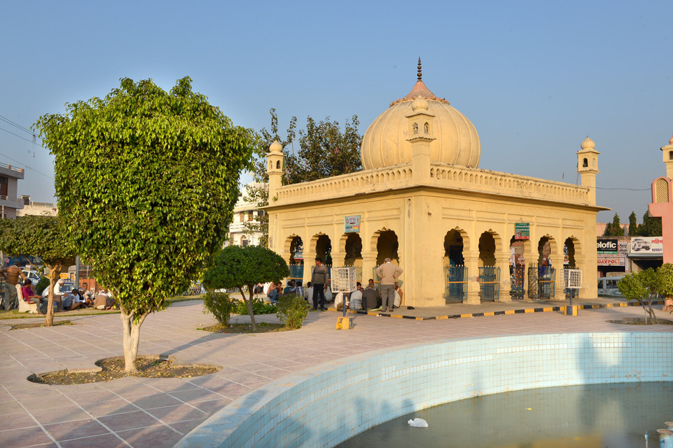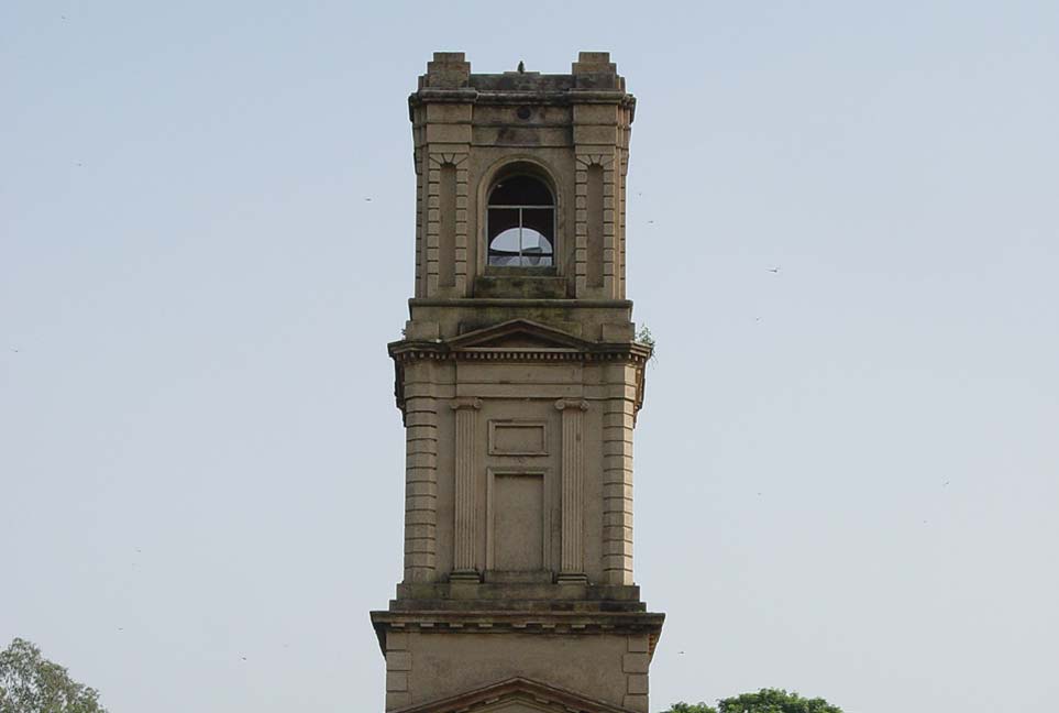
Cantonment Church Tower
In 1941, when the cantonment was shifted to Ambala, the church was...
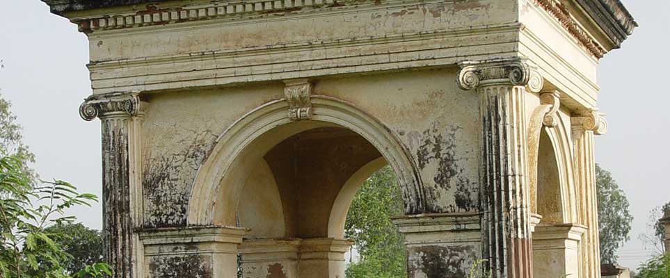
European Soldiers Grave
The cemetery (122mx76m) has a boundary wall about 2.5 m high and...
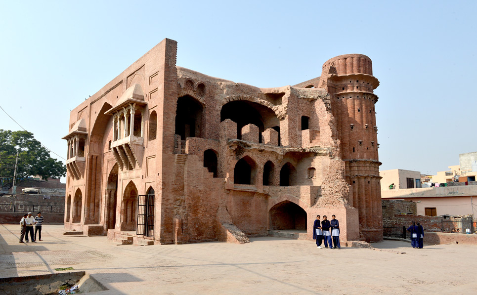
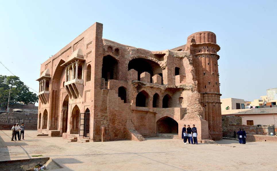
Gateway of Old Mughal Sarai
So it is named after the Mughals. Before the first battle of...

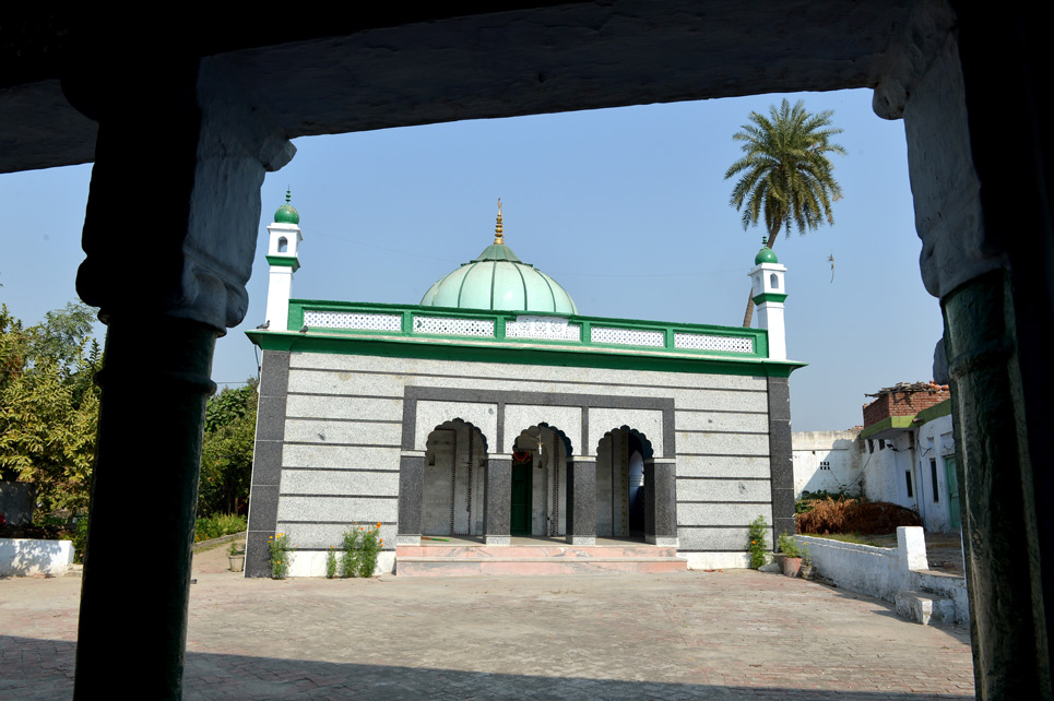
Kushan Stupa
The name Asandhivat (Asandh) has been mentioned in the Indian scriptures like...

Old Badshahi Bridge
This is a stone bridge having three arches, which are structurally sound....

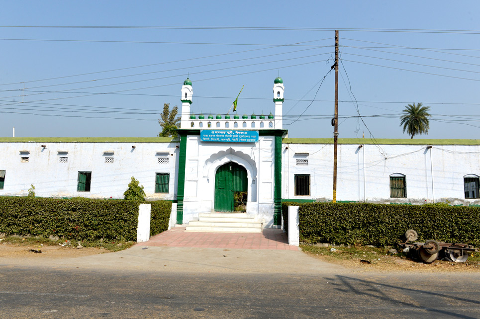
Taraori Sarai
Those were decisive battles, fought between Prithvi Raj Chauhan of Hindu Chauhan...
About
The city is known as a walled town. The citadel of old time can still be seen in form of Kot Mohalla (Kot means fort). The fort was built by Raja Gajpat Singh of Jind. The fort was used in many ways as British converted it into a residence for Dost Mohammad Khan, Amir of Kabul, part of it was also used as jail and a school was also running in the fort.
Some of the dignitaries have their association with the city of Karnal. Late Dr. Kalpana Chawla, an Indian-American scientist and NASA astronaut was born in a Punjabi Hindu family at Model Town, Karnal. She also did her schooling at Tagore Baal Niketan, Karnal. The first Prime Minister of Pakistan, Liaquat Ali Khan was born in Karnal.
Today, Karnal is also famous for manufacture of agricultural implements and its spares. More than 40% of country agricultural implements and spares are manufactured here.
Location: Karnal is connected through Delhi-Ambala rail line & Sher Shah Suri Marg (G.T.Road) to all important places in the country. It is 123 kms from Delhi & 130 kms from Chandigarh. The Karnal district is surrounded by Kurukshetra District on its north-west, Jind & Kaithal district on its West, Panipat district on its south and Uttar Pradesh on east.
Linking Roads: Karnal is centrally located between Delhi and Chandigarh on the National Highway No. 1
Postal Code: 132001 | Longitude: 76° 31′ 15″ and 77° 12’45” East | Latitude: 29° 9’50” and 29° 50′ North | Area: 2458 sq. km | Altitude: 748 feet, 227 meters | Population: 1506232 | Literacy Rate: 76.40 | STD Code: 0184 | Villages: 435 | Language: Hindi, English | Best season to visit: All seasons to visit.
How to reach
By Air
The nearest airports are Indira Gandhi International, New Delhi and Chandigarh Airport, which are 140 kms and 131 kms. respectively.
For more information please contact the Airlines.
By Rail
Karnal Railway Station near Chaman Garden, a diversion from State Highway No. 9, lies on the Delhi-Ambala rail line. Some of the important trains that start and pass through Karnal include Amrtisar Express, Jhelum Express, Kalka Mail, Chandigarh-Delhi-Shatabadi, Jammu Mall and Himalyan Queen.
For railway enquiry dial 139.
By Bus
The city is located on NH 1 and offers bus connections to many of its district towns as well as Delhi, Chandigarh, Ludhiana, Patiala, Dehradun, Haridwar, Gwalior, Merrut, Shimla and Dharamshala.
Haryana Roadways Volvo passes through Karnal.
For Haryana Bus Enquiry : Dial 0180-2646544.
For Haryana Volvo Booking from Chandigarh or Delhi log on to
www.hartrans.gov.in/online/index.asp
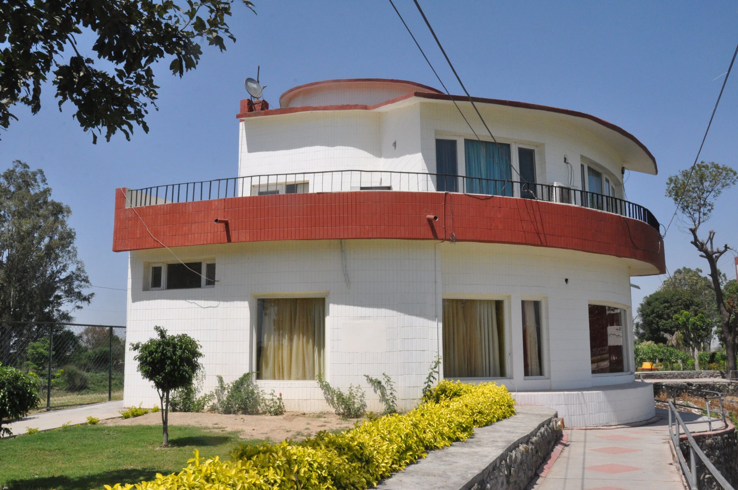
Karna Lake
(124 kms.from Delhi on Delhi-Ambala highway)Karnal, Haryana, India.
-

Motel
-

Restaurant
-

Bar
-

Conference Hall
-

Gift Shop
Oasis
(124 kms. from Delhi)Karnal, Haryana, India.
-

Restaurant
-

Bar
-

Filling Station
-

Gift

