Ancient Bricks Temple
The name Kalayat seems to be derived from Kapilayatana, meaning the 'home...

Ancient Site of Thehpolar
The site was situated on the southern bank of Rigvedic river, Saravati,...
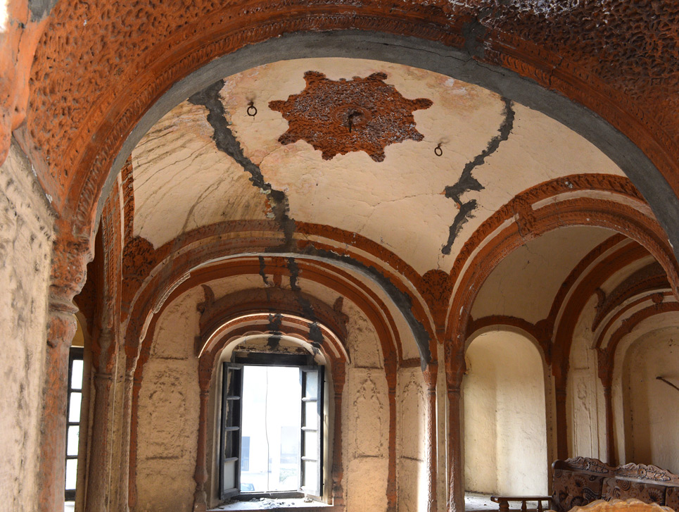
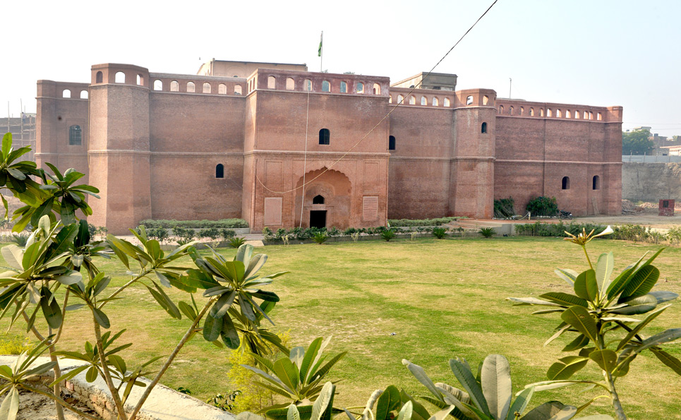
Forts and Palaces of Bhais
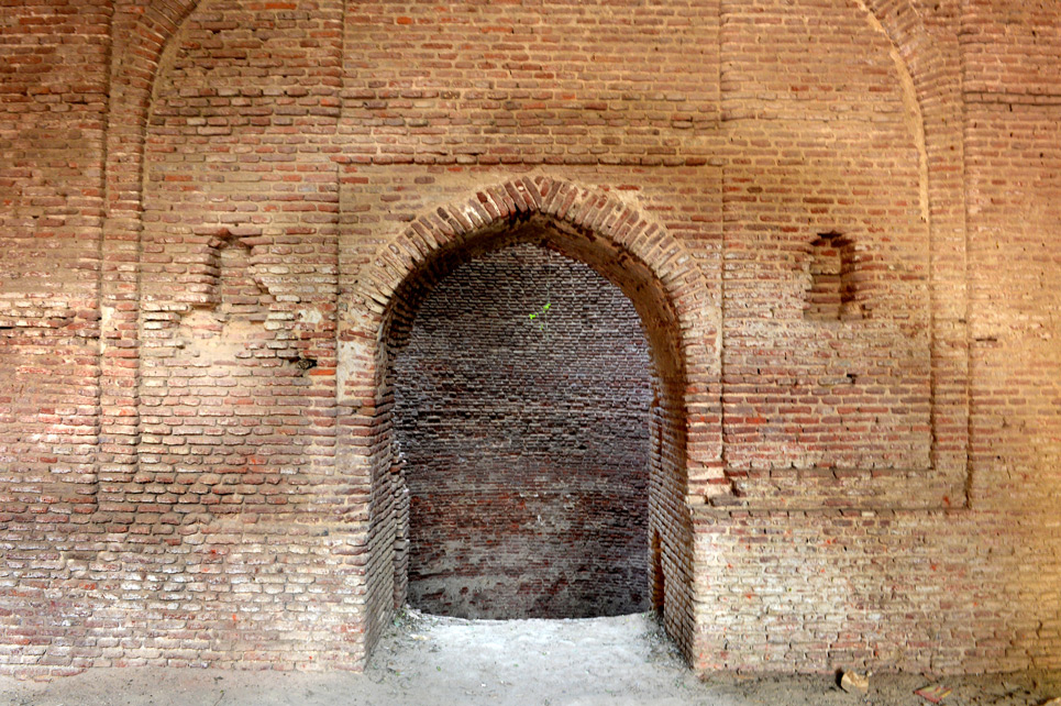
The specific feature of this oldest palace is the underground escape tunnel....

Hanumaan Mandir
Historically, Kaithal was known as Kapisthal, meaning ‘Abode of Kapi’, from Lord Hanumana, the...
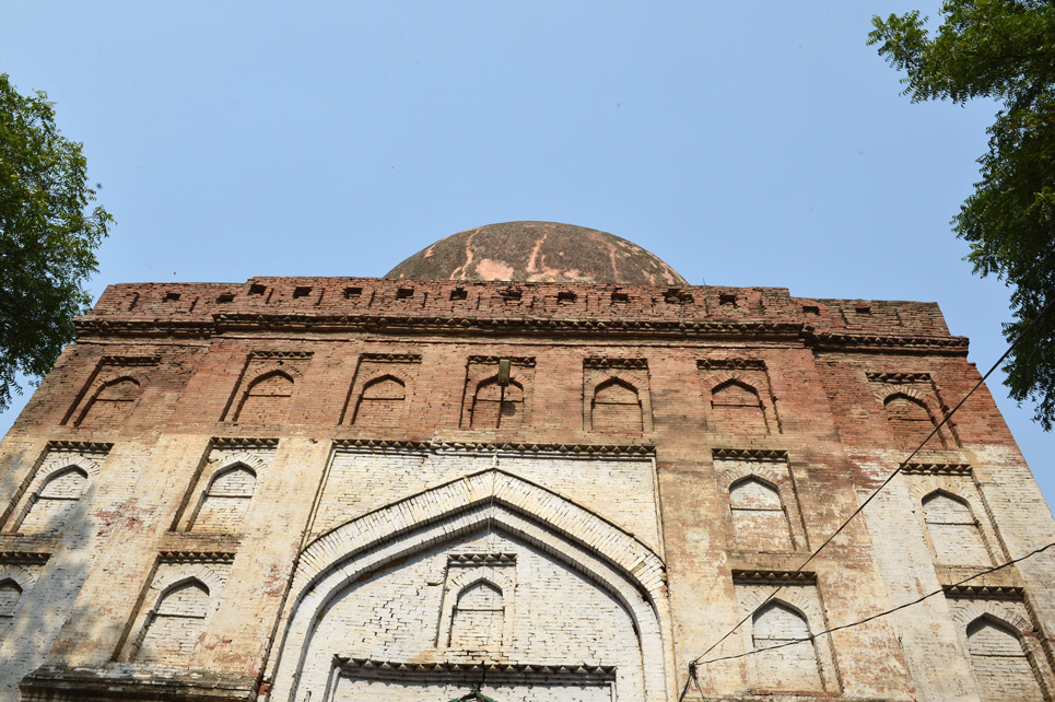
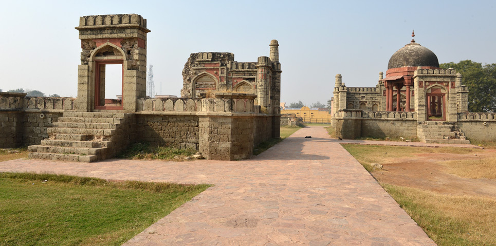
Tomb of Sheikh Tayyab
The words 'Sheikh' and Tayyab' stand for terms 'Fakir' (saint) and 'pure'...
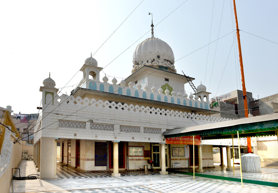
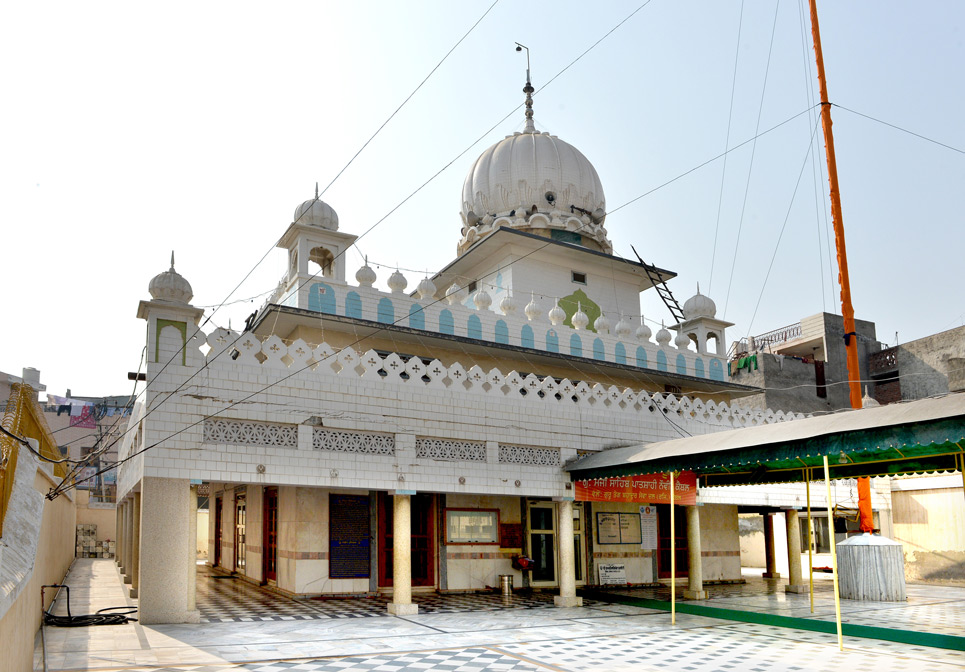
Topiyon Wala Gurudwara
The place is equally interesting as its name. The Gurudwara has a...

Vidyakar Teerth (Vriddh Kedaar) and Anjani Teela
According to Vamana Purana, "Kapisthaleti vikhdyatam sarvapatakanashanam yasmina sthitaha swayam devovridha kedara samgjijitaha”,...
About
Timur is believed to have stopped here in 1398, before attacking Delhi. Later, this town became a Muslim cultural centre, under the rule of . Several Sufi remnants such as tombs and shrines dating from the 13th century can be found in the city today, among them being the tomb of Sheikh Sala -ud-din of Bhalkh (1246 CE). Under the Mughal rule the town thrived as an agricultural centre.
Kaithal has a lesser known history as well. The Razia Sultan, who was the first woman ruler of India, died here and her ‘mazaar’ (tomb)is still there in the city. In 1767, the city came under rule of the Sikh chieftain, Bhai Desu Singh after which it came under British Influence.
Location: Situated on National Highway NH-65, connecting the state capital Chandigarh to Hissar.
Linking Roads: Kaithal is located on the Ambala-Hisar National Highway No.-65.
Postal Code: 136118 | Longitude: 76° 22′ 60 E | Latitude: 29° 48′ 0 N | Area: 2317sq. km | Altitude: 721 feet, 220 meters | Population: 946131 | Literacy Rate: 47.31% | STD Code: 01746 | Language: Hindi, English
How to reach
By Air
The closest major airport is Chandigarh Airport, which is about 105 km from Kaithal. Indira Gandhi International Airport at New Delhi is about 157 km from here.
By Rail
Kaithal is connected by a well-developed rail network.
By Road
The place is connected with nearby cities by a well-developed network of roads.
Koel
(123 kms. from Chandigarh on Kurukshetra-Hisar highway)Kaithal, Haryana, India.
-

Motel
-

Restaurant
-

Conference Hall

