Ancient Site Of Banawali
The excavations have yielded three-fold culture sequence: Pre-Harappan (Early-Harappan), Harappan and Bara...

Ancient Site of Bhirrana
Archaeological excavations of 4.20 m thick deposit have revealed four fold cultural...

Ancient Site of Kunal
Archaeological excavations have revealed the remains of three successive phases of the...

Lat of Feroz Shah
The Ashokan epigraph that was once engraved on the pillar was apparently...
About
During the Mughal regime, this area was considered as one of the most important Kingdoms. There is a beautiful mosque known as Humayun mosque at Fatehabad. It is believed that the Mughal emperor visited it when he was passing through the town after his defeat against Sher Shah Suri.
This well constructed fort town bears connection to the Harappan era too.
The district Fatehabad was a part of Nanda empire, according to Puranas. This district also was a part of Mauryan empire, which was discovered from the Ashokan pillars at Fatehabad.
Location: Located in the south-western part of Haryana. It is surrounded by Punjab in north, district Hisar in south, district Jind in east and Rajasthan and district Sirsa in the west.
Linking Roads: Fatehabad is 208 kms. west of Delhi. The town is accessible by Delhi-Sirsa National Highway NH-10 via Rohtak, Hansi and Hisar.
Postal Code: 1,25,050 | Longitude: 75° 30′ east | Latitude: 29° 3′ north | Area: 2,520 sq.km | Altitude: 682 feet, 207 meters | Population: 8,06,158 | Literacy Rate: 58.17% | STD Code: 01667 | Villages: 243 | Language: Hindi, English | Best season to visit: All seasons.
How to reach
By Rail
Fatehabad district is well-connected with Punjab, Delhi and district Sirsa by broad gauge railway line.
By Road
Fatehabad is at a distance of about 48 kms. north-west of Hisar on Delhi-Hisar-Sulemanki road. There is a network of metalled roads, which connects all its villages and towns. National Highway No.-10 connects Fatehabad with Delhi and Punjab.

Papiha
(210 kms. from Delhi)Fatehabad, Haryana, India.
-

Motel
-

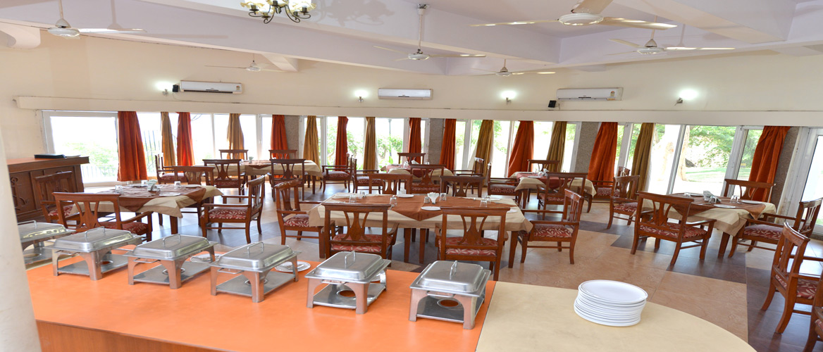
Restaurant


